Article

Højlyngsstien on Bornholm with Gitte Holtze

Hike diagonally across Bornholm

Gitte Holtze

Hiker and outdoor freak as well as journalist, lecturer and author of "jeg lever" about Gitte's hike along the Pacific Crest Trail and "Gå langt", a guidebook to long hikes.

Trekandtell.dk

If you dream of hiking in fantastic nature, you should try Højlyngsstien (Heather Path). Read more about the trail and what you can experience in this article.

If you dream of a hike where you get very close to nature, try Højlyngsstien. On the 67 kilometre walk across the island, you pass the sights in the centre of Bornholm. Walk through Denmark’s fifth largest forest, and experience wild nature areas with few other people. Get the overview from udinaturen.dk here. (In Danish)

How to find and follow the hiking trail

The trail is marked with either pictogram on poles or orange dots on the trees. In Paradisbakkerne (Paradise Hills), you follow an orange triangle. The trail is also available as a gpx file that you can download to your phone. (Site in Danish)

Experience Højlyngsstien in 6 stages

I have divided Højlyngsstien into six stages, each with unique terrain and surroundings. You can walk the entire trail as one single trip or take one or more stages as individual hikes spread across several days. Below, you can see the description of each stage and where it begins and ends, so just follow the orange markings between those points. Have a nice trip!


1st stage: From Sandvig to Ravnedalen

One of the trail’s most physically demanding and most beautiful stretches. It goes around Hammerknuden, past Opalsøen (Opal Lake) and Hammershus to Slotslyngen (Caslte heather) and Ravnedalen (Ravens valley). Enjoy the view of the landscape and sometimes the sea before the trail crosses Borrelyngvej and turns inland.

Distance: Approx. 8 kilometres.

Begins: The shoreline in Sandvig. Ends: Nordre Borrelyngvej.

The terrain: This is one of the trail’s most hilly stretches, so be prepared for ascents and descents in both forest and on cliffs.

Stops on the road: Hammershus Visitor Center is worth stopping by to learn more about the history of the old castle ruins.

Shopping: There is a small kiosk in Hammershus Visitor Center. Remember to check the opening hours.

Water: In the restrooms at Hammershus and in the car park on Borrelyngvej (a few hundred meters detour) after seven kilometres of hiking.

Accommodation: Lyngholt Familiecamping, which is located about 800 meters up Borrelyngvej, is open all year round, and in addition to water and restrooms, baths are included in the price of DKK 95 per person + DKK 50 for a tent during the high season (cheaper between October and April). In addition, there are shelters at Opalsøen, one in Ravnedalen, a coastal shelter at Hammerhavn and a primitive tent site at Egeløkke. In Sandvig, there are several bed and breakfasts, guest houses, etc.

Please note: There are no shops in Sandvig, so buy all the food for your hike before you get to Sandvig.


2nd stage: From Ravnedalen to Rø Plantation

After the rocky north, the trail goes through Olsker and between open fields to Rutsker Højlyng and its rocking stone as well as the fascinating rock, Stenrøret. From here the trail goes past Spellinge Mose (Spellinge bog) with its many birds, onwards to Rø Plantation.

Distance: Approx. 13 kilometres.

Begins: Nordre Borrelyngvej. Ends: Klemenskervej

The terrain: Relatively flat and part of it is paved because the trail follows the bicycle path between Sandvig and Almindingen.

Stops on the road: Shortly before Olsker, you walk right past Ole Christensen’s Sculpture Park, which is a fascinating collection of +40 man-high stone sculptures scattered across grass areas between trees.

Shopping Opportunities: None.

Water: There is water in the restroom at the parking lot after Rutsker Plantation.

Accommodation: There are a few bed and breakfasts near Rutsker Højlyng, but no primitive accommodation options before Rø Plantation.

Please note: The markings lead you away from the bicycle path at Spellinge Mose and up on a ridge from where you have a view of the bog. When you come down from the ridge, no signpost shows you back to the path – you have to turn right


Stage 3: From Rø Plantation to Udkæret

In Rø Plantation, the trail leaves the bicycle path and goes up to Borgen, a high cliff with beautiful views, and along the beautiful Borgedalssø (Borgedal Lake). From here to Almindingen, the trail passes right through the ruin of Lilleborg and past Rytterknægten.

Distance: Approx. 19 kilometres.

Begins: Klemenskervej. Ends: Parking space on Springbakkevejen

The terrain: In Rø Plantation, you’ll follow narrow paths which are sometimes relatively hilly. From here on, most of the trail is on bicycle paths or country and forest roads.

Stop on the road: The view from Rytterknægten is incomparable. The tower is open all year round.

Shopping: Christianshøj is open during parts of the winter – check the opening hours here.

Water: There is a water post by the gravel road towards Udkæret Shelterplads and a restroom with water by Rytterknægten.

Accommodation: Udkæret Shelterplads, established in 2019, has three great shelters, a privy and a water post. In addition, there is a shelter site in Ørnemose (Ørne bog or Eagle Bog), relatively close to the trail and a tent site in Rø Plantation. There is also free tenting throughout Rø Plantation and in the forest north of Bolsterbjergvej.

Please note: Check the opening hours if you want to visit the reputable restaurant Christianshøjkroen. It welcomes you even if you show up in sweaty hiking gear.


Stage 4: From Udkæret to Bastemose

From Udkæret, the trail follows narrow forest paths to Ekkodalen (Echo Valley), where you’ll walk through the bottom of the unique rift valley. Then through the majestic forest to the wetland of Bastemose (Baste bog).

Distance: Approx. 7 kilometres.

Begins: The car park on Springbakkevej. Ends: Bastemose

The terrain: A mix of small forest trails and established hiking trails. Most are relatively flat.

Stops on the road: Ekkodalen is where you will encounter most people, especially if you visit the kiosk or café. But the valley is still worth spending extra time on for its distinctive nature.

Shopping: The Krølle-Bølle Kiosk in Ekkodalen is open from 1 April to 1 October + the autumn holiday (Week 42). Restaurant Ekkodalshuset is open all year round – check the opening hours.

Water: There is water in the restroom in Ekkodalen and at Hareløkkerne Shelterplads.

Accommodation: Hareløkken Shelterplads has two great shelters and a restroom with water. At Bastemose, there is a shelter (without bathroom or water), and right by Segensvej between the two, there is a sizeable tent site (without restroom or water). A little north of the trail is also Rundemosen shelter site with three shelters.

Please note: There are around 20 kilometres from the restroom at the Hareløkkerne shelter site to the next water post.


Stage 5: From Bastemose to Ølene

The trail follows a section of the Bison Trail through the part of Almindingen with the large European bison. Then it turns from the established paths and goes along deserted newly laid paths to the game reserve Ølene.

Distance: Approx. 7 kilometres.

Begins: Bastemose. Ends: Ølenevej

The terrain: This part of the trail has some of the most uneven and challenging topography. It is not hilly, but apart from the Bison Trail, which is well-established, the trail follows, among other things, former wheel tracks with high vegetation.

Stops on the road: There is no guarantee of spotting a bison, but they live in the Bison Forest, so set aside time to look for them. It’s a magnificent sight.

Shopping opportunities: There are none.

Water: There are no water posts.

Accommodation: There are no accommodation options.

Please note: In the game reserve Ølene, there are bird towers, from which you have a fabulous view of the entire deserted wetland.


Stage 6: From Ølene to Årsdale

The trail follows the narrow nature trail along the winding Øle Å (Øle stream) through a wild-growing forest and over wet meadows before it reaches Paradisbakkerne and winds up and down through, among other things, the beautiful Majdalen.

Distance: Approx. 13 kilometres.

Begins: Ølenevej. Ends: Årsdale at Årsdale Mill

The terrain: The path along Øle Å is a narrow, often sloping footpath and can seem impassable and swampy in some places. In Paradisbakkerne it’s rather hilly but has well-established paths. The last three kilometres towards Årsdale goes downhill on a country road.

Stops on the road: Paradisbakkerne, has lots of valleys and crevices in the rocks, that are created by the forces of nature. Spend some time studying them – possibly with an extra little trip to the Rocking stone.

Shopping opportunities: There are none except in Årsdale at Årsdale Silderøgeri (Årsdale smokehouse) and Mikkeller, as well as the small grocery store Høkeren. Check the opening hours.

Water: In the restroom in the parking lot after Paradisbakkerne and in Årsdale.

Accommodation: There are a few bed and breakfasts.

Be aware: The path along Øle Å can be challenging, especially in wet weather.

Continues after the image

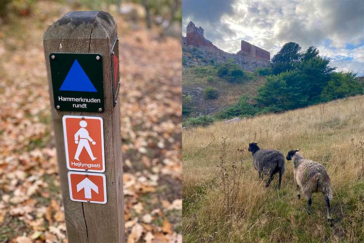
Facts about Højlyngsstien

Below you will find relevant facts about the trail:

How long is the trail? It is 67 kilometres and runs through forest, rocky valleys and heather-clad grasslands.

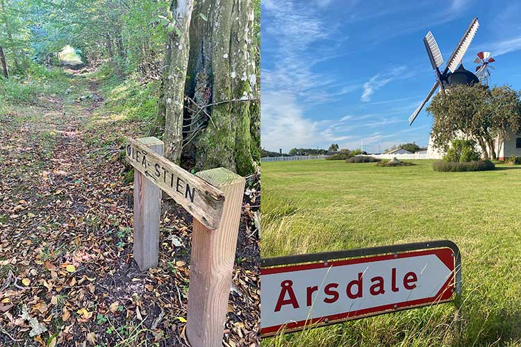
Where does it begin and end? It begins on the beach in Sandvig, just after the campsite, and ends at the coast in Årsdale, just behind Årsdale Mill.

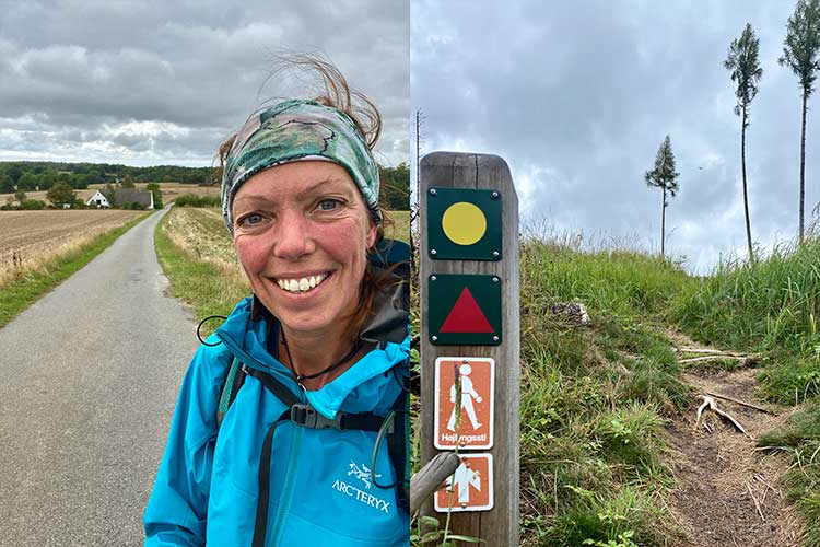
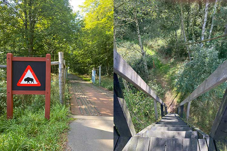
How hard is it? It varies from easy to difficult. Parts of the trail are on country roads and bicycle paths on either asphalt or gravel, while others are on narrow winding and occasionally swampy footpaths or forest paths. On Hammerknuden in particular and in Paradisbakkerne, it is also hilly with several ascents and descents.

In which direction should I walk? You can walk it in both directions, but be aware that if you go from Årsdale, you begin with three kilometres of the country road towards Paradisbakkerne, and you’ll have no accommodation until after about 20 kilometres. If you go in the opposite direction, you begin with the trail’s most hilly but very beautiful eight kilometres on the northern tip of Bornholm.

How about the weather? Wind and the sun’s direction doesn’t matter as much as on the coastal path because you walk a lot in the woods, but if you prefer the sun in the back, you should begin in Årsdale.

How do I get to and from the trail? From Rønne, there are buses to both Sandvig and Årsdale, depending on where you want to begin the hike. Check bat.dk. At both ends of the path, you reach the Coastal Path and can continue the trek along with it. You can also catch a bus to Rønne – or somewhere else on Bornholm – in both Sandvig and Årsdale – if your hike ends here.

What about food? Bring food for the whole trip or check the opening hours at Christianshøjkroen, Ekkodalshuset and Restaurant Bolsterbjerg, which are the only restaurants and cafés you pass. In addition, there is a small kiosk at Rytterknægten, in Ekkodalen and in Hammershus Besøgscenter – also check the opening hours on them. The nearest grocery stores are in Klemensker, Østerlars, Østermarie and Vestermarie – all four cities are about five kilometres away (each way).

What about water? There are water posts and public restrooms along the trail. However, there is a long way between some of them, so bring water for the long distances. Download the findtoilet app (Android), which tells you where the restrooms are.

Where should I sleep? There are several shelter or tent sites along the way, just as there is free tenting in Rø Plantation and northern Almindingen. It is most apparent to sleep primitively because there are a limited selection of bed and breakfasts near the trail.

Can I walk the trail all year round? Yes, you can easily do that if you have the right clothes and footwear. Be aware, however, that the few restaurants and cafes along the trail are not necessarily open all year round and that the trail is swampy in some places, so keep that in mind, especially in the typically wet seasons.

How many days does the trip take? It depends on how fast you walk but expect 3-5 days.

Would I walk the trail again? Yes, definitely. Especially the last three stages – the stretch between Udkæret and Årsdale – because here you go through some of Bornholm’s wildest nature.

Five good tips for hiking on Bornholm

1. Bornholm is not very big, so if you are injured or do not want to walk the planned distance, you can almost always find a bus or call for a taxi.

2. In most towns along the coast and at several parking lots by forest, there is a public restroom where you can also refuel water.

3. Set aside time to play tourist along the way – both on the coastal path, where it is obvious to visit a museum, eat Bornholm cuisine or take a dip in the sea and on Højlyngsstien, where natural sights such as Lilleborg and Ekkodalen are worth spending extra time on.

4. The trail is generally well marked, but bring a map or a phone for safety’s sake.

5. Make sure you have enough food and working cookware with you if you walk Højlyngsstien out of season, where the few restaurants and cafes you pass are not open. On the Coastal Path, it will be possible to buy food in almost every city all year round.

Map and GPX-files on Højlyngsstien

You can download the Danish Nature Agency’s PDF-map and GPX-files on Højlyngsstien on their homepage. The trail is the same as the one Gitte Holtze describes, but the maps are sectioned differently than the one described in this article.

Free download

Theme
Walks on Bornholm
Theme
Experience the coastal path on Bornholm
Theme
Walk - around Hammerknuden
Theme
Sports and other fun activities on Bornholm
0
You have no favorites
You have 1 favourite
You have 0 favourites
Send us an e-mail
Write to us.

Send us an e-mail:

info@bornholm.info

Tourist information
Call us
Call us

On the phone:

(+45) 56 95 95 00