Article

Hiking route: The Coastal Path leg 7 – Boderne to Rønne

Approximately 120 kilometres of beautiful and varied hiking around the entire island: From the beaches in the south to the cliffs in the north. The walk can be done as a multi-day hike, but is also ideal for shorter legs. This is the hike for anyone who really wants to get Bornholm under their skin, and under their hiking boots.

Gitte Holtze

Hiker and outdoor freak as well as journalist, lecturer and author of "jeg lever" about Gitte's hike along the Pacific Crest Trail and "Gå langt", a guidebook to long hikes.

Trekandtell.dk

We have chosen to divide the coastal path into seven legs. This article describes leg seven from Gudhjem to Svaneke.

Facts

Duration:
4-5 hours
Length:
19 km
Difficulty level:
Challenging to Arnager, medium to Galløkken, easy to Rønne.
Suitable for prams and wheelchairs:
No
Parking:
At the car park near the harbour in Boderne and in Rønne.
Toilets:
In Boderne, in Arnager, and in Rønne
Access to water:
The public toilets along the route.
Surface:
Flat, but with many steps up and down the coastal slopes and on the rocky beach. Some forest path and paved road too.


Map of the route

Below you can download a pdf with an A4 map of the route.


Route description

A not so easy stage with walking on pebble beach and up and down the slopes above the coast, before you go around Bornholm Airport and through pine forest and a summer cottage area on your way to Rønne.

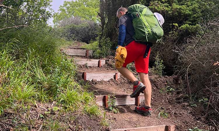
From the harbour in Boderne, the route first follows the beach and then alternates via steps on the beach and through the forest or on a footpath along the fields on the steep slope above the beach.


If you’d rather stay on the beach, you can, but it’s pebbly and with relatively soft sand. On the other hand, you’ll probably have the beach to yourself; not many people find their way to this rugged part of Bornholm’s steep coastline.

A few kilometres before Arnager, you’ll walk a short distance on road, then through the forest and directly into the small fishing village of Arnager.

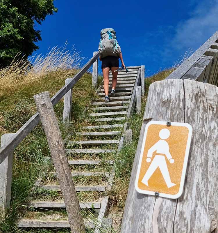
Arnager is particularly famous for its 200-metre-long jetty, the longest in the Nordics, which you can’t miss, before following the beach further west until you reach a steep flight of steps. Up here is Bornholm Airport – walk along the fenced-off summer cottage area of Stampen to the end. Follow the signs – the route is very winding along the small gravel roads, but is quite well signposted.


Følg den orange rute


Again, there is a bit of walking on the road’s cycle path before the last three kilometres or so through pine forest and dune plantation and past the popular Galløkken beach in Rønne. You enter Rønne at the cemetery on Skansevej, and from here it’s just a straight walk to Bornholms Velkomstcenter (Bornholm’s Welcome Centre) on Nordre Kystvej.

The Coastal Path 7 hiking stages:

Leg 1 – Rønne – Hasle

Leg 2 – Hasle – Sandvig

Leg 3 – Sandvig – Gudhjem

Leg 4 – Gudhjem – Svaneke

Leg 5 – Svaneke – Snogebæk

Leg 6 – Snogebæk – Boderne

Leg 7 – Boderne – Rønne


Places on the route:

On this hike, you get a chance to visit the following places:

1

Boderne Harbour

Visit the lovely harbour with the charming fishing cabins on the southern coast of Bornholm.

2

Arnager Harbour

Experience Arnager Havn with the longest wooden bridge over seawater in Northern Europe.

3

Hjorths Factory

Visit the cosy ceramics museum Hjorths Fabrik (Hjorths Factory) in the town of Rønne.

4

Nørrekås beach

Nørrekås beach is one of Rønne's lovely sandy beaches.

5

Rønne Bio - Movie Theater

See a good film in Rønne Bio in Rønne.

Find more hiking paths here

Bornholm is a paradise for any nature lover. Find more hiking paths below...

Theme
Bornholm's Hiking Guide - Get tips for the best hiking trails here
Theme
Read all about hiking on Bornholm here
0
You have no favorites
You have 1 favourite
You have 0 favourites
Send us an e-mail
Write to us.

Send us an e-mail:

info@bornholm.info

Tourist information
Call us
Call us

On the phone:

(+45) 56 95 95 00