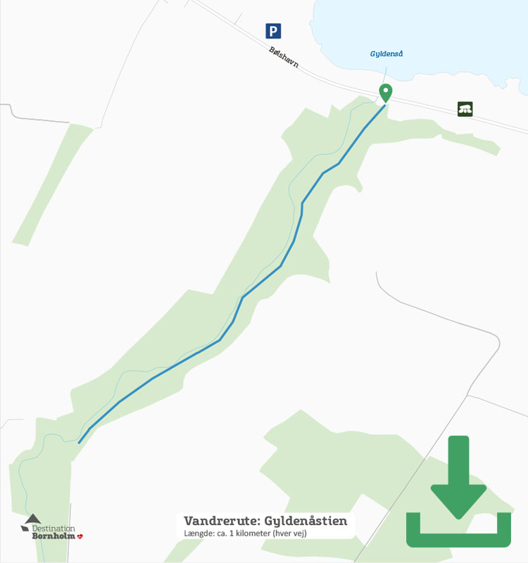
Map of the route
Below you can download a pdf with an A4 map of the route.
Route description
If you’re looking for a short walk where you’re unlikely to come across many (if any) people, and which is as special as many of the well-known routes on Bornholm, Gyldenåstien is an obvious choice. It’s not easy to find, even though it’s right on the busy east coast country road, because there are no big signs or anything pointing to it.
The trail starts at the road where the Gyldenå River flows into the sea. The nearest car park is at Bølshavn naturparkering (nature carpark) opposite Bølshavn number 21, and from here you walk about 100 metres south along the road until you see a sign saying “Gyldenåsti”.
Follow the path into the forest, which is relatively wide and easy to walk at first, but narrows as you get deeper under the tree canopy – rocks rise up from the ground in some areas, as do tree roots.
It’s not very hilly, but a little undulating, which means that you can get up above the river and enjoy the view of its winding course at the bottom of the valley.
And all along the way, you’ll find nature left “uncleared” – fallen trees have been allowed to remain in place, and the trail is only sporadically cleared after the worst falls. As such, a passage has been cut where a large tree has fallen across the trail.
In spring, the forest bed is a myriad of white, yellow and blue anemones, as well as wild tulips and marsh orchids, but the trail is also a beautiful walk the rest of the year, passing through the deciduous forest, which includes holly bushes.
The path ends at a narrow road and although the river continues, you will be unable to follow it further from here and have to now return the same way.
On the way back, you may notice the many songbirds here, and if you’re lucky, you might even spot one or two trout in the river. However, fishing is prohibited, so you’ll have to make do with just looking.
Places on the route:
On this hike, you get a chance to visit the following places: