The Lines of the landscape
Explore the lines in the landscape and become wiser about the nature and cultural heritage of Bornholm.
A journey back in time
The lines in the landscape is a path system that connects Aakirkeby with the landscape south of the city. Near Natur Bornholm, you will find the path system that tells a story about the development of the last one billion years and about the people who have lived there and influenced til landscape since the earliest antiquity.
Connects people and natural heritage
The ten-kilometre long path system offers a natural history experience. On the edge of the Fennoscandian fringe zone, the landscape is broken by traces of volcanic activity and petrified seabed. Petrified sand in undulating motions on the petrified seabed, petrified jellyfish and sandworms can be seen.
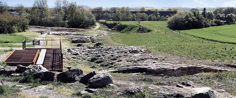
Klintebakken – Midtbornholm’s fault line
An edge of granite that emphasizes the fault line between the granite subsoil of northern Bornholm and the sandstone subsoil of southern Bornholm can be seen on the route. Several small quarries from the Middle Ages and burial mounds from the Bronze Age adorn the landscape and imprinted prehistoric natural heritage.
Download the app
The app Lines in the landscape contains directions, information, and audio files about Aakirkeby and the city’s wonderful nature experiences.
Download the app via
Android eller iOS
Social: