Finnens Footprints

A great hike over 6 kilometres on Northbornholm

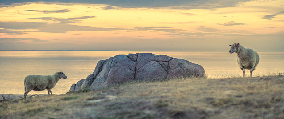
Finnens Footprints is one of the most wonderful hikes on Northbornholm – with a stunning view of the unique nature and the Baltic Sea.

Here is the route

Along the hike, you’ll walk along the coastal path around Bornholm. You’ll also pass Hammershus Castle Ruin, Finnens Top, Edilsdalen and Paradisdalen.

The route is marked with blue pictograms, arrows, and dots – and leads through steep and rocky areas. The route is not eligible for disabled people and baby strollers.

Where do the names come from?

Finnens Top and Finnedalen (Finne’s Valley) are most likely named after Mads Pedersen Finne, who farmed the area during the 18th century.

The hike’s highlight: The stunning view from Finnen’s Top.

Download a map and a flyer over the area

Here you can download a map and information brochure over the area, published by the Danish Nature Authority. It also shows the hike of Finnen’s Footprints.

Info

Opening hours this week:

Monday

Open

Tuesday

Open

Wednesday

Open

Thursday

Open

Friday

Open

Saturday

Open

Sunday

Open

Contact information

Tlf.

E-mail

Web naturstyrelsen.dk

Address

Finnedalsvej 7

3790 Hasle

Park your car at the Finnedalshouse (a small shelter/hut) - drive from Vang along the gravel road Finnedalsvejen to the north, until you reach Finnedalshytten on the left side. Right beside there is a small parking lot.

0
You have no favorites
You have 1 favourite
You have 0 favourites
Send us an e-mail
Write to us.

Send us an e-mail:

info@bornholm.info

Tourist information
Call us
Call us

On the phone:

(+45) 56 95 95 00